
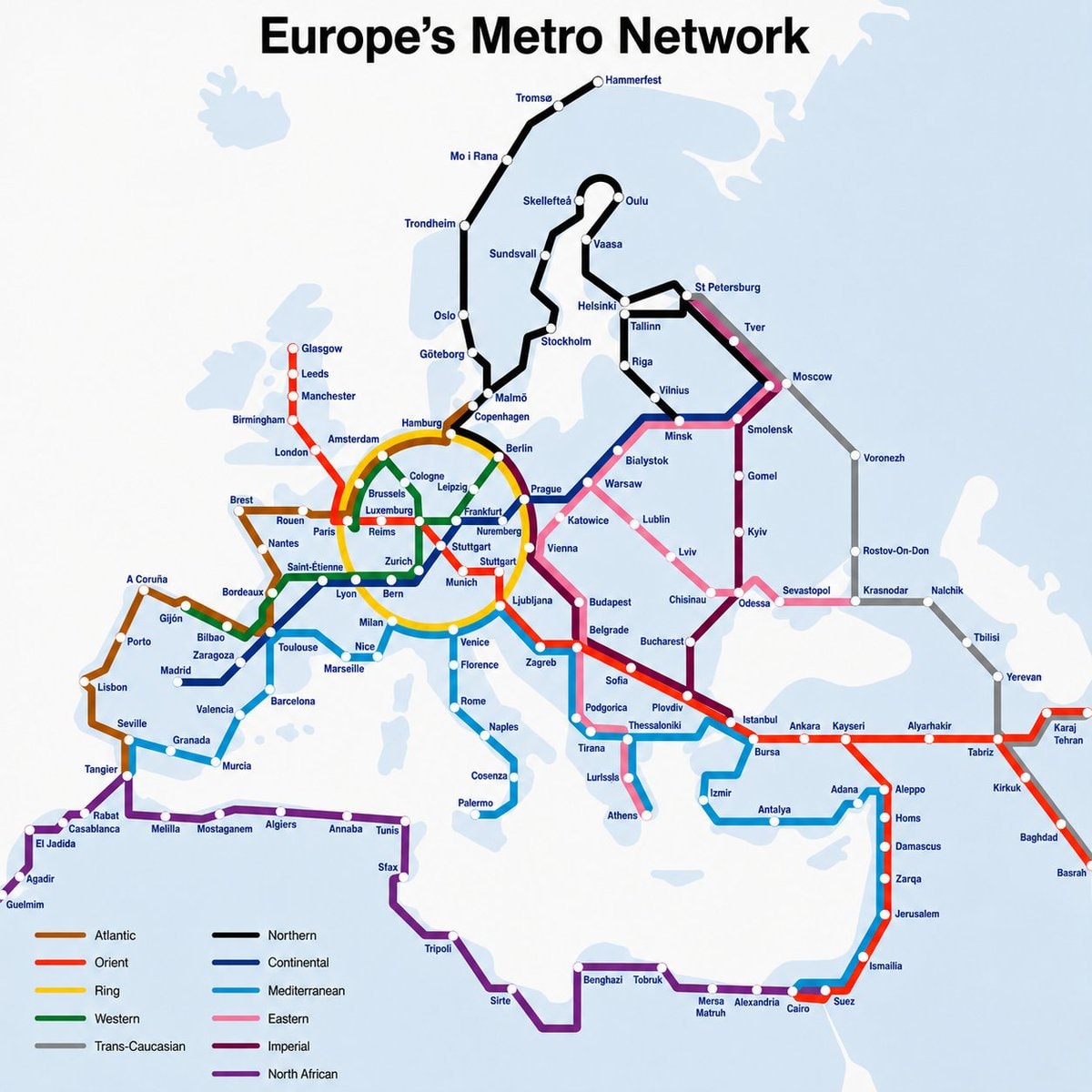
@writersroom.boardwalkEurope's Metro Network exists.
Ver publicación original@writersroom.boardwalkEurope's Metro Network exists.
Ver publicación originalFoto de @writersroom.boardwalk· Aug 27, 2026· Info/Editorials
The image is a map of Europe's Metro Network. It displays various interconnected train lines across the continent, color-coded to represent different network types. The style is informational and cartographic. A legend at the bottom clearly defines the color coding for each network.
 World map country sizes
 2Numbeo affordable cities 2026
 main European regions map
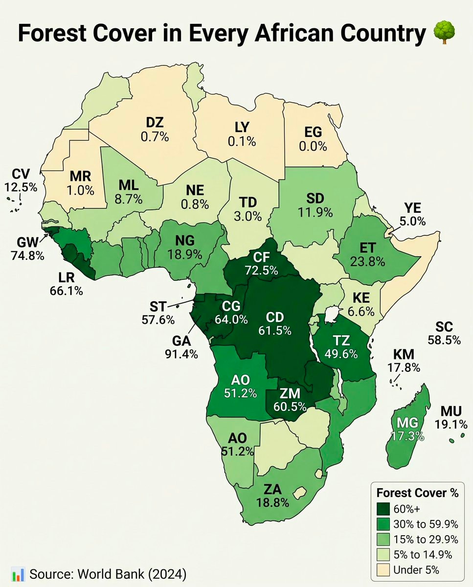 Africa forest cover by country
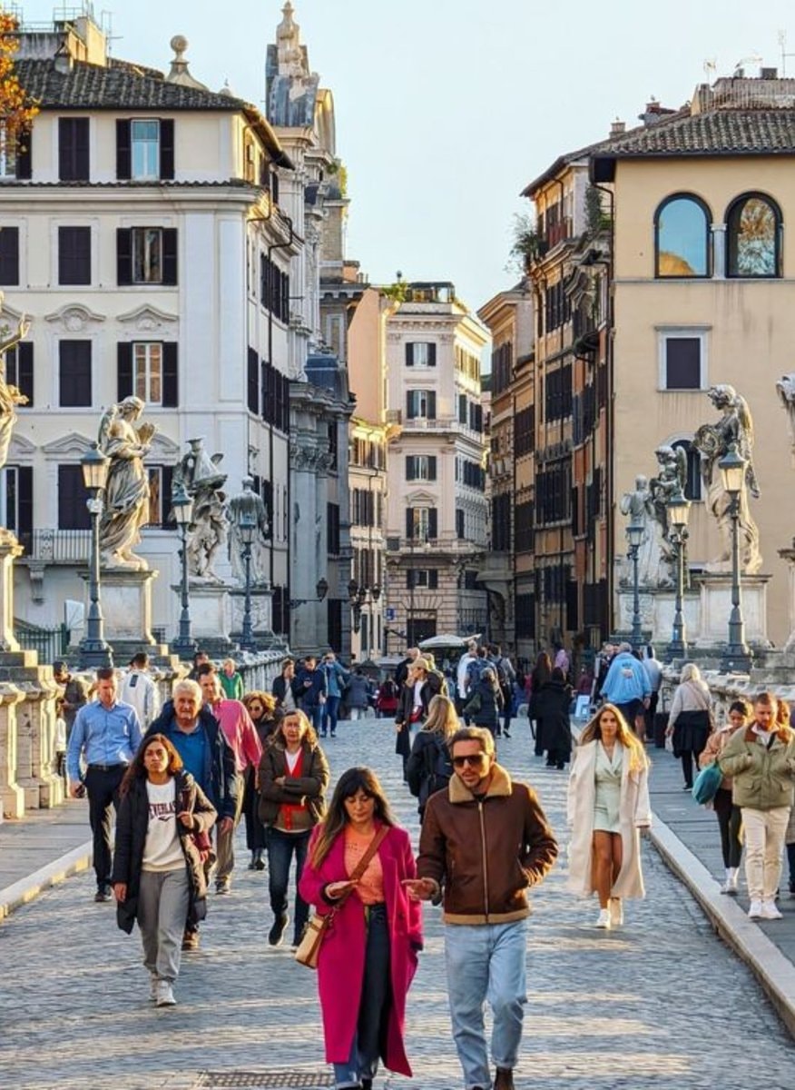 2Rome Italy most walkable city
 Asian Country Urban Population Map
 2Global Nuclear Power Capacity 2025
 US State population under 25 share
 2Lionel Messi jersey stars
 Poland 17th century vs today map
 Immigrant population map by state
 Tallest men by U.S. state map
 US climate zones by location
@writersroom.boardwalkEurope's Metro Network exists.
Ver publicación originalFoto de @writersroom.boardwalk· Aug 27, 2026· Info/Editorials
The image is a map of Europe's Metro Network. It displays various interconnected train lines across the continent, color-coded to represent different network types. The style is informational and cartographic. A legend at the bottom clearly defines the color coding for each network.
Aún no hay comentarios. ¡Sé el primero!
World map country sizes2Numbeo affordable cities 2026main European regions mapAfrica forest cover by country2Rome Italy most walkable cityAsian Country Urban Population Map2Global Nuclear Power Capacity 2025US State population under 25 share2Lionel Messi jersey starsPoland 17th century vs today mapImmigrant population map by stateTallest men by U.S. state mapUS climate zones by location
Aún no hay comentarios. ¡Sé el primero!