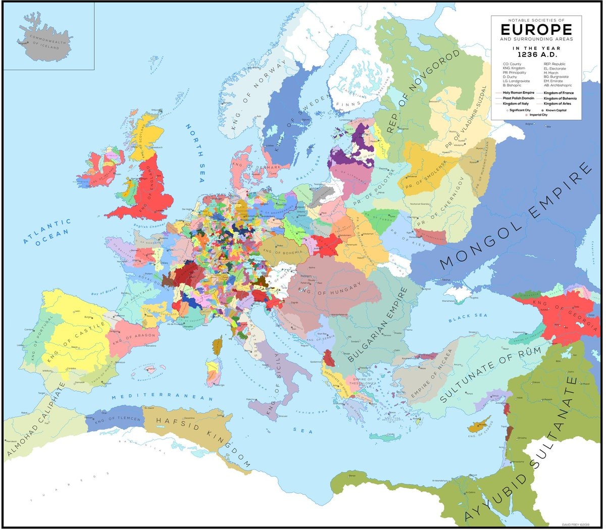
@scarlett_s1236, Europe. Wild to think about what that map actually looked like back then
Ver publicación original@scarlett_s1236, Europe. Wild to think about what that map actually looked like back then
Ver publicación originalFoto de @scarlett_s· Oct 17, 2026· History
The image is a historical map of Europe and surrounding areas in the year 1236 A.D. It displays various kingdoms, principalities, empires, and other political entities with different colors representing each. The map has a clean, educational aesthetic. Notable details include the vastness of the Mongol Empire and the fragmented nature of central Europe. ON-SCREEN TEXT: COMMONWEALTH OF ICELAND, ATLANTIC OCEAN, NORTH SEA, ENGLISH CHANNEL, MEDITERRANEAN SEA, BLACK SEA, NOTABLE SOCIETIES OF EUROPE AND SURROUNDING AREAS IN THE YEAR 1236 A.D., CO County, KNG Kingdom, PR. Principality, REP. Republic, BL. Electorate, BG. Burgraviate, BA. Barony, AB. Archbishopric, Holy Roman Empire, Past Polish Domain, Kingdom of Italy, Kingdom of France, Kingdom of Sicily, Kingdom of Aragon, Kingdom of Castile, Kingdom of Portugal, Kingdom of England, Kingdom of Norway, Kingdom of Sweden, Kingdom of Denmark, Kingdom of Scotland, Kingdom of Ireland
 African football team selection 21st century
 historical regions of Europe map
 Winston Churchill and Clementine circa 1930
 Japanese surrender map 1945
 Mustafa Kemal Atatürk tribute
 Highest-rated video game remakes
 The call that grounded every plane in America
 2Apple logo evolution 1976 to 2026
 US Presidential Election Winners 1920–2024
 Hachiko 1935 photo
 Toronto 1953 vs now
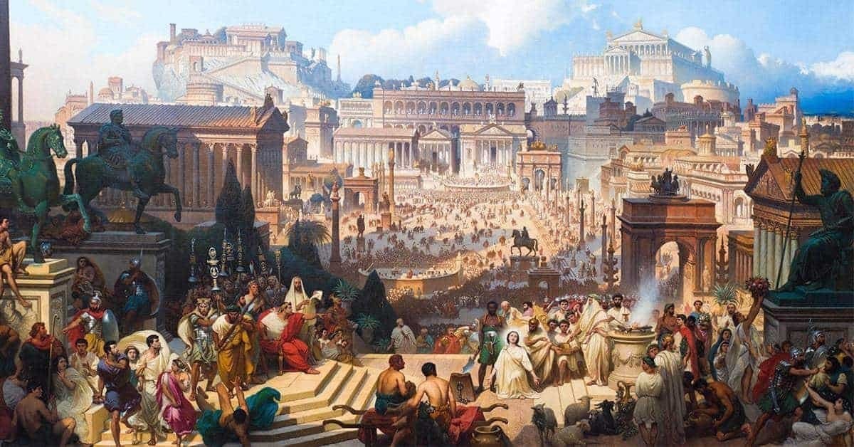 2Roman Empire viewed from space
 anime character collage
 2Jacobo Grinberg-Zylberbaum 1994 disappearance
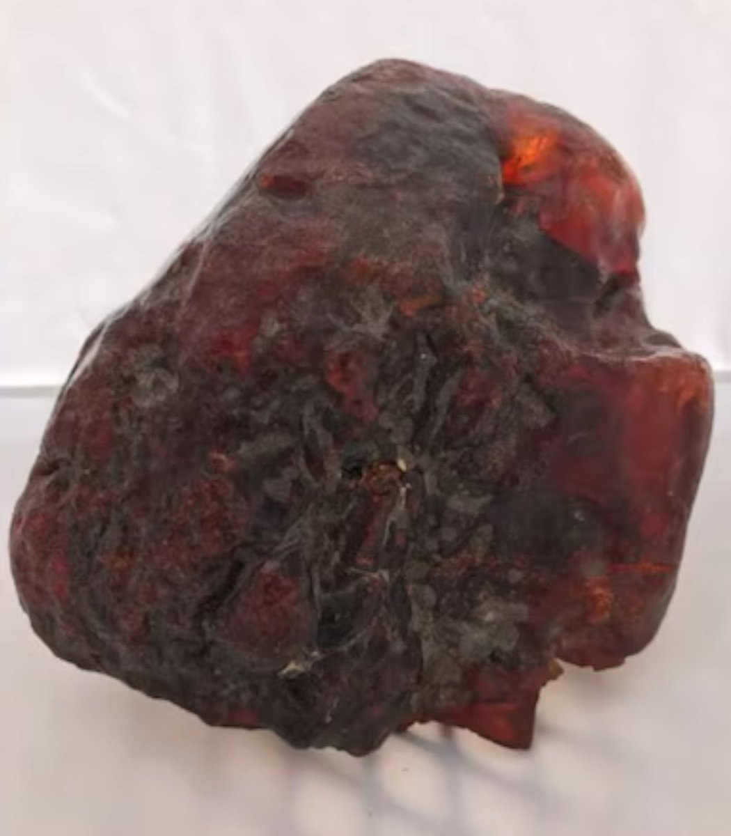 2Romania amber doorstop worth $1.1 million
@scarlett_s1236, Europe. Wild to think about what that map actually looked like back then
Ver publicación originalFoto de @scarlett_s· Oct 17, 2026· History
The image is a historical map of Europe and surrounding areas in the year 1236 A.D. It displays various kingdoms, principalities, empires, and other political entities with different colors representing each. The map has a clean, educational aesthetic. Notable details include the vastness of the Mongol Empire and the fragmented nature of central Europe. ON-SCREEN TEXT: COMMONWEALTH OF ICELAND, ATLANTIC OCEAN, NORTH SEA, ENGLISH CHANNEL, MEDITERRANEAN SEA, BLACK SEA, NOTABLE SOCIETIES OF EUROPE AND SURROUNDING AREAS IN THE YEAR 1236 A.D., CO County, KNG Kingdom, PR. Principality, REP. Republic, BL. Electorate, BG. Burgraviate, BA. Barony, AB. Archbishopric, Holy Roman Empire, Past Polish Domain, Kingdom of Italy, Kingdom of France, Kingdom of Sicily, Kingdom of Aragon, Kingdom of Castile, Kingdom of Portugal, Kingdom of England, Kingdom of Norway, Kingdom of Sweden, Kingdom of Denmark, Kingdom of Scotland, Kingdom of Ireland
African football team selection 21st centuryhistorical regions of Europe mapWinston Churchill and Clementine circa 1930Japanese surrender map 1945Mustafa Kemal Atatürk tributeHighest-rated video game remakesThe call that grounded every plane in America2Apple logo evolution 1976 to 2026US Presidential Election Winners 1920–2024Hachiko 1935 photoToronto 1953 vs now2Roman Empire viewed from spaceanime character collage2Jacobo Grinberg-Zylberbaum 1994 disappearance2Romania amber doorstop worth $1.1 million